Do you lock my counties to me?
No — we don't sell territory. We sell leads, and each one is sold exactly
once. Another buyer may work the same county; they will never work the same parcel,
because the row we gave you is retired the moment it's yours. That holds after you
cancel, too.
Where do the leads come from?
Straight from the source: county assessor rolls, GIS parcel layers,
recorded sales and tax-delinquency lists — filtered to your buy box, then enriched with
skip-tracing, flood and wetland screens, soil, buildable area and comps. It isn't
recycled list-broker data.
Why did I only get 14 phone numbers out of 25?
Because we traced all 25 and refused 11. An address that resolved to the
wrong human, a disconnected line, a deceased owner of record, a DNC or litigator flag —
each one is a number you'd have burned an afternoon discovering. You get the refusals
in writing with your batch, by name and reason. Everyone else would have billed you for
all 25.
What if my box only yields 300 parcels?
Then we deliver 300 and tell you why — your screens killed the other
2,700. We'd rather sell you the real number and explain it than pad a batch with leads
that half-passed. If the count comes in too small to work, we'll widen the box with you
before anything ships.
What if my buy box is weird?
Weird is the whole point. Frontage minimums, mobile-home eligibility,
neighborhood polygons, per-product quotas, long-hold owners only, sub-market value
targets — the filters are engineered per client, not picked from a dropdown. That
engineering is what a list vendor can't do.
How fresh is the data?
Leads are pulled from county records when your console is built, then
re-scraped quarterly on Starter and Growth, monthly on Pro. New delinquencies, new
sales and ownership changes flow in with each pass instead of going stale in a
CSV.
Do I need any other software?
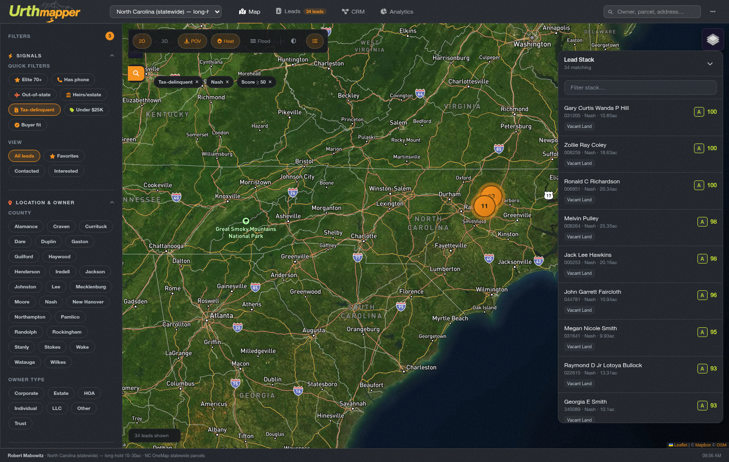
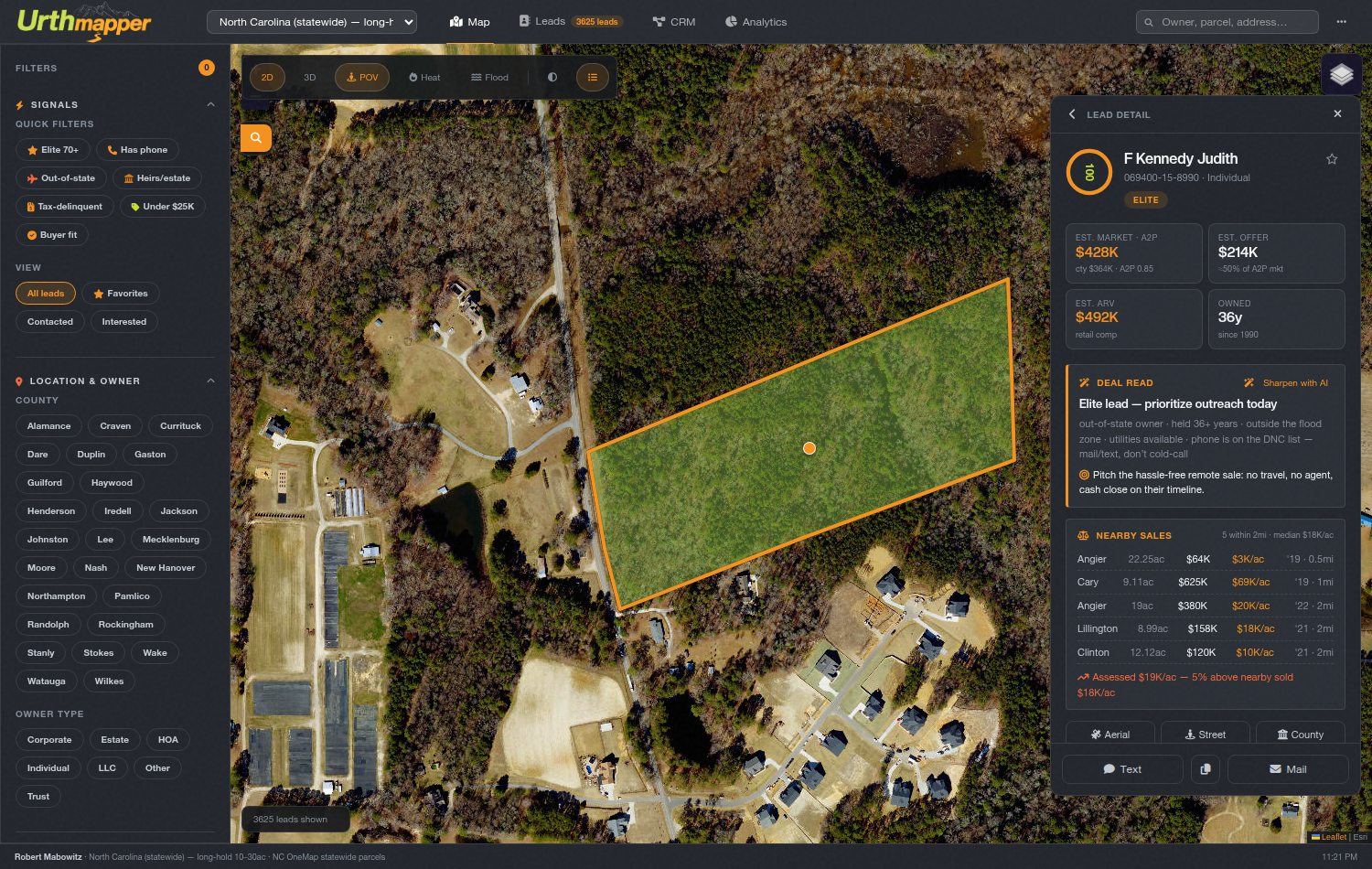
No. The map, the lead detail, the comps, the dialer and the CRM pipeline
all live in one console on your own subdomain. It runs in any browser, phone
included.
What happens if I cancel?
The drip stops and the console stays up through your paid period.
Everything already delivered is yours to keep and is never resold to anyone — that's
true whether you're active or not.